This web page contains flood facts for kids and is a great resource for anyone of any age researching floods. Our goal is to provide you with the latest and most accurate flood facts from scientific sources.
In addition to flood facts, you’ll find some shocking flood pictures and additional resources for researching floods.
The flood facts listed below will help you learn about the different types of floods, what can cause a flood, past historic floods and other useful flooding facts.
Our goal is to provide you with the latest and most accurate flood facts from scientific sources.
If any of the below flood facts are inaccurate, please contact us and let us know.
48 Flood Facts for Kids

- Most cultures and civilizations in the history of mankind have experienced floods sometime or another.
- Ancient cultures built their kingdoms close to rivers for convenience. Over time, they had to deal with river floods that damaged their land and kingdoms.
- Dams and levees have been a defense mechanism to prevent flooding since the old times.
- People in ancient Egypt waited for floods. The Nile River would bring rich soil and deposit it in the kingdom. This made the land more fertile and suitable for agriculture.
- Flood water is sometimes collected for irrigation to water the agricultural crops during non-rainy seasons.
- Heavy floods can break dams and wash away cities. They can cause hurricanes, uproot trees, destroy buildings, and ruin bridges, roads, and other structures.
- A flood is when land that is usually dry is submerged by an overflow of water. Sometimes, it doesn’t even take long for floods to occur.
How Floods Form
- Floods are formed due to rapid changes in the climate and atmospheric conditions. If the snow/ ice melts too fast, the rivers and lakes will overflow with water. This causes floods.
- If there are too many rains in a short period, the excess rainwater will increase the water levels in rivers/ lakes. This again leads to floods.
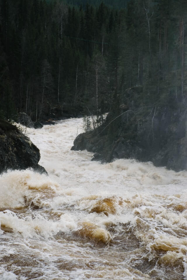
3.Floods can last for minutes, hours, days, or weeks. Some floods can last even longer, depending on the region, climatic conditions, etc.
4.Being close to water bodies increases the risk of flooding. Villages, towns, and cities located close to rivers, seas, and oceans are more susceptible to floods.
5.Floods can occur in one part of the city or throughout the state.
6.There are five different types of flooding and they are aerial, catastrophic, coastal, riverine and urban flooding.
7.Aerial flooding is caused by heavy rainfall or snowmelt. The excess water gets collected in a low-lying area and starts to overflow.
8.Catastrophic flooding is caused by infrastructure failure, like the failure of a levee or dam.
9.Coastal flooding is caused by rising sea levels, like a storm surge caused by a hurricane. Regions on the coastline (in any country) are at a high risk of this type of flooding.
10.Riverine (Channel) flooding is caused by water overflowing from a lake, pond, river or stream. It is the most common type of flooding.
11.Urban flooding is caused by a drainage system or a storm sewer system that is overwhelmed. It can also happen when the hard concrete/ asphalt surfaces prevent the earth from absorbing the excess water.
12.A flash flood is the sudden and rapid flooding of an area that is prone to flooding. It can happen in a few minutes or hours and are dangerous for humans and animals alike.
13.Flash floods are caused by heavy rain, hurricanes, severe thunderstorms, tropical storms or melting snow.
14.Flash floods occur in hilly regions and dry riverbeds where water quickly accumulates in a place.
Flood Safety Planning and Alerts
- A flash flood watch is a weather alert issued by the National Weather Service. The NWS issues this type of weather alert when the conditions are right for flash flooding.
- A flash flood warning is a weather alert issued by the National Weather Service. The NWS issues this type of weather alert when a flash flood is occurring or is imminent.
- The NWS sends out advice to ‘turn around, don’t drown’, which means it asks people to move to drier or high-lying areas on their side instead of trying to cross a flood and reach the other side.
- The Association of State Floodplain Managers in the US educates people and promotes policies that can mitigate the risk of floods without affecting the natural balance in the environment.
- Governments and local authorities build levees, reservoirs, bunds, and weirs, apart from dams, to stop the overflowing water from rivers and lakes from entering the towns and cities.
- Maintaining wetlands and cleaning natural drainage systems can reduce the risk of floods in the region.
- Redesigning the infrastructure and installing rain barriers are other ways to mitigate the causes of floods.
- Beavers are little mammals that build natural dams to stop the water flow. They have a prominent role in controlling floods in high-risk areas.
- Technology like artificial intelligence and machine learning help accurately predict floods in advance and take the necessary action to minimize losses.
Impact of Floods on Our Lives
- Damage caused by flooding can reach into the billions of dollars. Floods kill more people compared to other natural disasters.
- Around 90% of all the natural disaster declarations in the United States are related to some sort of flooding.
- The northeast and Midwest regions in the US are most affected by floods.
- The time between the spring and fall see a majority of floods in the US, though they can occur throughout the year.
- Many automobile vehicles can float in as little as one foot of water during a flood. One should never drive into a flooding area.
- As little as two feet of rushing flood water can carry away an automobile, including a pick-up truck or SUV.
- Flood waters have a fast-moving current. People can lose their balance in just six inches of water.
- People are asked to evacuate to safer places during floods. They take a few personal belongings and move to temporary homes until the floods subside.
- The shelter homes are set up by the local government (and NGOs) to provide aid to the flood victims.
- Floods pollute drinking water sources and lead to water-borne diseases like cholera, hepatitis, typhoid, etc.
- Floods dump the waste (debris) back on land. This can include plastic, metal, and hazardous chemicals previously released into the water bodies.
- Though floods occur mostly in plains and low-lying areas, they can wreak havoc even on plateaus if the infrastructure doesn’t have a proper drainage system for excess water to flow into the nearest water body.
- Countries like China, Bangladesh, and India have the highest exposure to floods due to their long coastlines.
Biggest Floods in History – Top 5 Floods That Caused Massive Destruction
- China faced the Yellow River Floods in 1887. The floods killed 900,000 people on 28th September when the river water overflowed into the surrounding areas. The floods covered 19305.108 square miles and made more than two million people homeless.
- The Yellow River floods occurred in 1938 yet again and caused a loss of 800,000 million lives (or more). However, this flood was created (man-made) by the Chinese Nationalist Government during the second Sino-Japan War to prevent the Japanese forces from marching ahead. Sadly, the Japanese forces were unaffected by the floods, while the Chinese died.
- In 1975 in China, the Banqiao Reservoir Dam on the River Hu was destroyed by Typhoon Nina. The dam weakened and broke, resulting in water lashing out at the surrounding towns and cities. Half of China was said to be flooded because of this. The death tally crossed 160,000 people, and many millions got stuck underwater.
- The deadliest flood on record was the 1939 China floods, also known as the 1931 Yangtze-Huai River floods. Some estimates have the death toll as high as four million people. This flood is also considered the deadliest natural disaster in recorded history.
- St. Felix’s Flood in the Netherlands in 1530 occurred on 5th November. More than 120,000 people were killed by the flood that washed away most of the land. The Dutch went on to name it Evil Saturday or Kwade Zaterdag. The regions of modern-day Flanders, Reimerswaal cities, and Zeeland became salt marshes as a result of the flood.
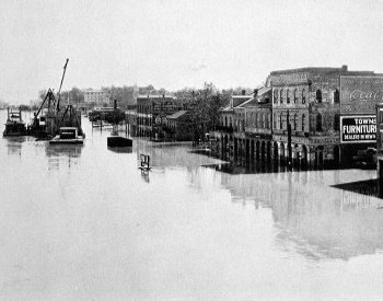
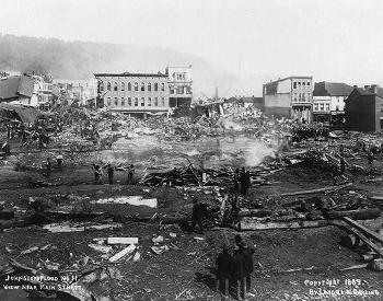
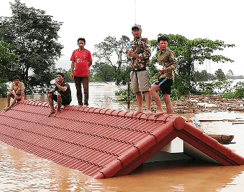
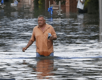
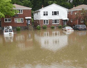
Flood Pictures
Additional Resources for Flood Research
- Severe Weather 101: Flood Basics – Some basic flood facts for kids from the National Severe Storms Laboratory.
- Flood Safety Tips and Resources – Learn how to be safe during a flood by checking out this website from the National Weather Service.
- Floodwater After a Disaster or Emergency – Learn about the dangers of floodwater from the Centers for Disease Control and Prevention.
- List of Significant Flood Events – See a list of major flood events going back as far as 1978.
